


Skip to content
Nature, Risk & Resilience Reporting
Powered by Land App
Understand and future-proof your supply chain
 

Trusted by:

"Mapping our supply chain with Land App has been absolutely invaluable for us. It is a scalable, resource-efficient approach to drive change - by enabling our business to understand what's happening on the ground and bringing our supply chain's story to life."

- Benjamin Thomas, Partner & Senior Environment Manager, Waitrose

"Land App gives us a comprehensive view of land use and environmental risk across our supply base. It allows us to move beyond measuring, into prioritising. We can quantify risks and opportunities across hundreds of farms and focus investment where it delivers the greatest benefit."

– Gavin Hodgson, Director of Agriculture, Horticulture & Fisheries, Sainsbury’s

What is Nature, Risk & Resilience Reporting?

A powerful digital mapping software used across the UK to analyse land use and supply chains, helping to build resilient systems which meet environmental reporting requirements.

LandApp - Infographic 8.0 (3)

Over 70 scientifically-backed metrics

Scalable from farm to supply chain

Sector-leading platform

Use cases of Nature, Risk & Resilience Reporting

NRRR lets you:
- Identify high-risk areas in your supply chain: Water stressed areas, flood zones, peatland, biodiversity hotspots.
-  Actively mitigate risk through building Risk Action Management Plans.
- Track suppliers' adoption of sustainable farming practices.
- Track progress towards your business' sustainability commitments (compatible with TNFD and SBTN).
- Create and tell stories about your progress and commitments backed by reliable, verifiable farm level data.
- Cleanly aggregate and funnel data from suppliers to processors to retailers.

Frequently Asked Questions

Key questions about the Nature, Risk and Resilience Reporting system. 

A complete FAQ for Nature Reporting can be found here.

How are the metrics calculated?

The system calculates industry-leading metrics through a "spatial-first" engine. This means at a minimum, each farm needs to be represented on a map (e.g. a red-line boundary) to calculate key indicators such as county, waterbodies, proximity to flooding and more. 
When a habitat map (either current "baselines" or future "land management plans") are also shared, the metrics allow for a detailed assessment of those habitats' impact on risk and resilience. These can be detailed connectivity scores, or broader "habitat cover %" of the farm or portfolio - helping track key targets such as 30 by 30. 

Who has Land App partnered with to create the metrics?

The NRRR system is the product of years of sector-wide partnerships. This includes building on the Defra Biodiversity Metric (which underpins Biodiversity Net Gain), closely working with the UKHab Ltd team on iterations of the UKHabitat Classification, and numerous research bodies, such as UK Centre for Ecology and Hydrology (UKCEH), Oxford University and Rothamsted Research. 
Land App is also grateful to its wide-user base whom contributes iterative feedback for it's development. 

Who owns the data created through NRRR?

Land App has built the Nature, Risk and Resilience System to protect farmers' data. Therefore, we follow the Farm Data Principles.

Whichever user created the map owns the data (as it was created by and for the end-user).

The NRRR system provides a route for the "analysis" of that data (e.g. the metrics) to be shared with one or more recipients. At any-point, that "end-user" can revoke access, thus being "forgotten"  by the system. 

Case Studies

For food retailers, we're providing dynamic views into supply chain resilience and supporting farmers with Land Management Plans.

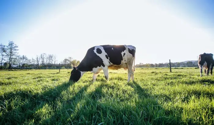
cows

Sainsbury's x Land App

Working with Sainsbury’s towards becoming a nature-positive retailer: The Sainsbury’s x Land App project enters its second year.

Read more
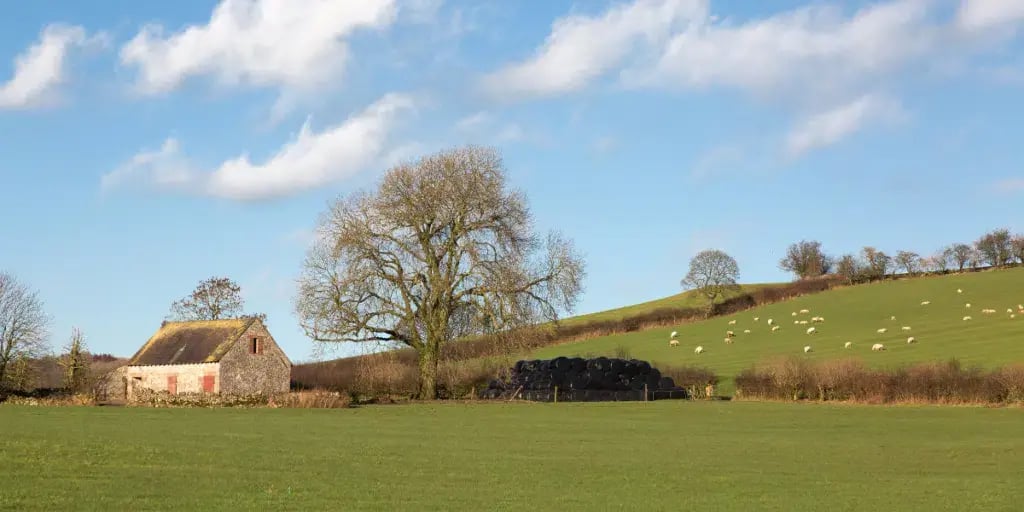
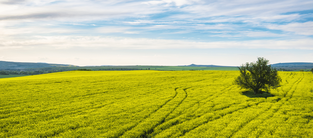
Jan-25-Waitrose-Announcement-Blog-1024x512

Waitrose x Land App

Land App and Waitrose Drive Regenerative Agriculture.

Read more
Mary-Case-Study-1-1-1024x452

ASDA x Land App

Asda x Land App: How Mapping and Planning Strengthen Farmer Support Across Supply Chains.

Read more
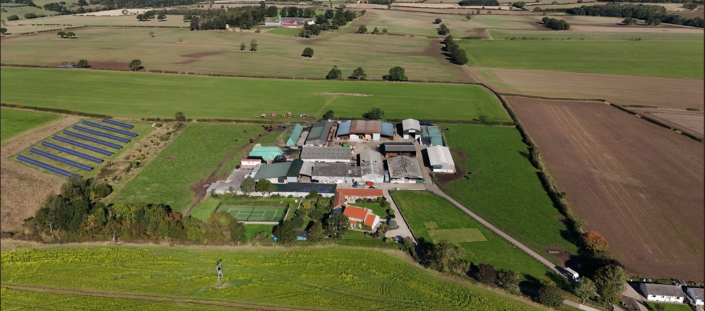
North-Lingy-part-2-case-Study-1024x452

North Lingy Farm

From Waterlogged Fields to Willow Agroforestry: One Farm’s Journey to Flood Resilience.

Read more
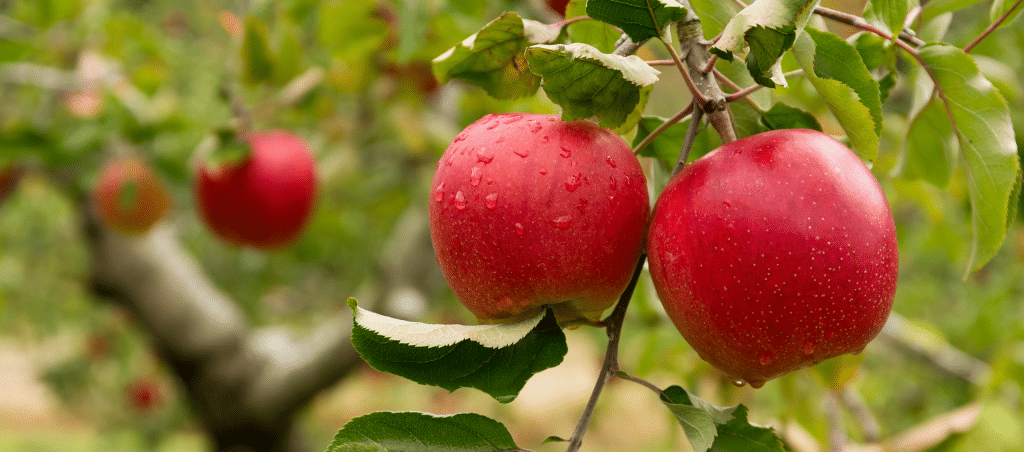
CD-regen-case-Study-1024x452

Worldwide Fruit

How Land App Helps Orchard Growers Integrate Biodiversity with Production.

Read more
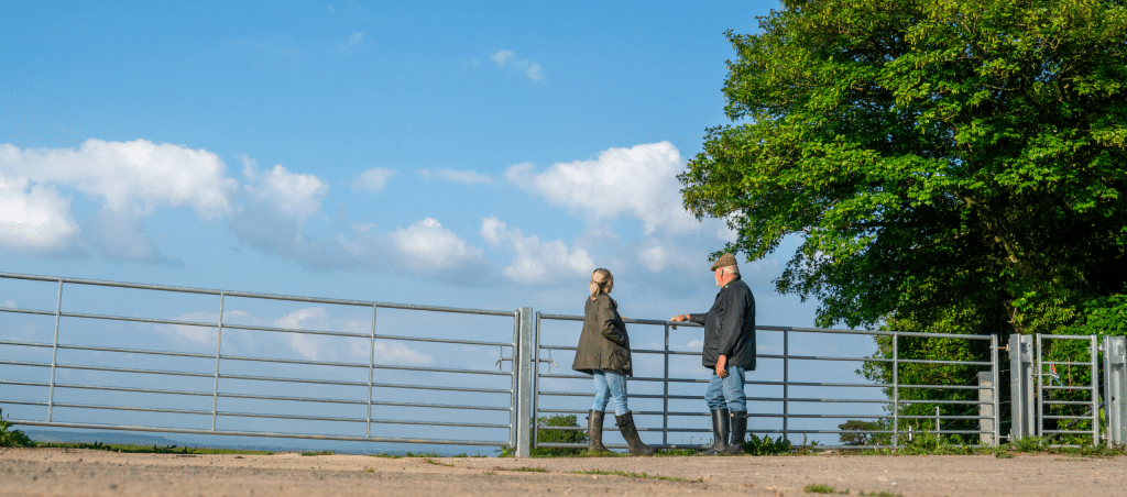

AP-Study-2-1024x452

Advisory Network

How Land App Accredited Professionals are transforming UK Farm Advisory.

Read more

Natural Capital Asset Valuation

made in partnership with:

eftecLogo+Tagline-SquVers-210mmWide-1


Build a dynamic picture of your Estate or Portfolio's value, with Natural Capital Balance Sheets covering both public (value to society) and private (value to the businesses). Support for the Agricultural Output values provided by The Anderson's Centre

Automated Natural Capital Assessments

Aligned to ISO 14054 logic

Research backed

  • Communicate public benefits provided by the land in your supply chain to regulators, investors and customers.
  • Help to identify potential trade-offs and opportunities of managing nature
  • Compare the costs and benefits of managing nature and climate related risks

Contact us

Swaantje Marten 

Lead Account Manager 

Land App

swaantje@thelandapp.com


joe-thomas_Tims Farm_P1A2802-1