The Land is your Office, Too
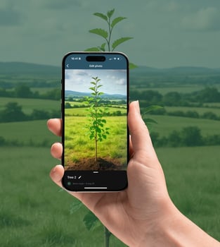
Land App Mobile is your field companion
Connect your maps to the field
Your maps and plans don't need to stay on the desktop. Our Mobile App bridges the gap between your office and the field, giving you the power to see your vision in context on the ground.
-
Update in real-time: Modify plans and maps live from the field
-
Document everything: Capture asset data, photos, and notes on location
-
Connected surveys: Collect accurate field data without the paperwork
-
Track progress: Track work and verify results with location-aware data

Key features
Geo-located photos
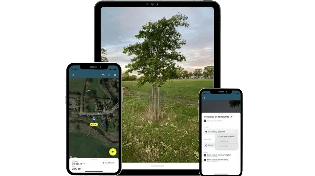
Link time-stamped photos to your map as photographic evidence. Document asset conditions, verify work, and flag issues for your team directly from the field
Live plan editing
Keep your plans accurate by updating, marking assets, and adjusting boundaries live in the field. Your map becomes a living entity that reflects your work
Measure and survey
Use your device's GPS to precisely map and survey any area. Calculate parcel sizes, plot fence lines, and link crucial data like soil samples directly to your map
Offline sync mode
Download maps to work anywhere, even without a mobile signal. Your edits and measurements will be saved and then sync automatically when you are back online
See what people are saying
"Land App Mobile makes surveys quicker to complete and turns results into something farmers can really see and use"
"I can just pop onto my phone, have a look on the app, see which field I'm actually in, and see which fields are actually ours"
"We're recording stuff out in the field for stewardship schemes, if we've got issues with fence lines, utilities, we're identifying stuff"
Hear how South Hill Estate and Hampton Estate use Land App Mobile
Download today
Note: You will need a Land App subscription or an active free trial to log in after download

The full desktop experience
Access our full suite of planning tools, overlay and analyse data, then set up projects before heading into the field

